Mapping Facilities and Assets inside the Hospital
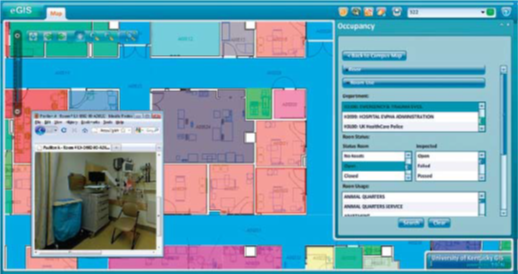
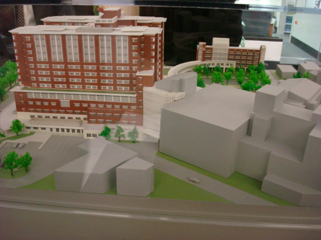
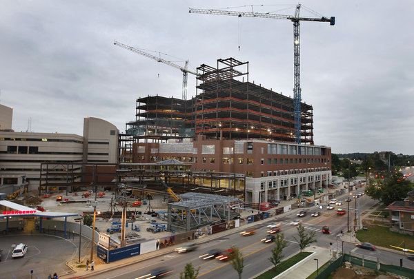
A custom GIS application at the University of Kentucky (UK) now supports occupancy of the 16-floor, 1.2-million-square-foot Level 1 Trauma Center, called UK Chandler Hospital Pavilion A. Maps and room data sheets detail each room along with occupancy and accompanying assets including furniture, medical equipment, and technologies.
Built on an ArcGIS platform, the application was developed by Michelle Ellington, UK GIS coordinator, and Andrew Blues, UK information technology manager, along with 39°N, an Esri business partner.
“We have a lot of information silos, but this application will serve to analyze all that data in one centralized location,” Ellington said. “We chose GIS because it is a scalable solution for integrating data types and university-wide systems.”
Custom enhancements include the integration of CAD drawings, room data sheet generation, 360-degree panoramic pictures of rooms both fitted and in the predrywall stage, on-the-fly symbolization, Web site linking, and a powerful asset editing module. The system is being expanded to integrate other campuswide systems and support additional university needs.
“We built the custom ArcGIS Server application using the Flex API to maximize accessibility and ease of use,” said Chris Walls, cofounder of 39°N. “We are extremely proud of this cutting-edge collaboration with the University of Kentucky. This kind of application will significantly streamline the administration of public facilities.”
For more information, visit 39degreesnorth.com and esri.com/health or contact Michelle Ellington at michelle.ellington@uky.edu.
Link to original article: ArcNews healthyGIS Winter 2010/2011