Enterprise solutions to Unlock Insights, Empower Organizations and Unlock Urban Insights.
ArcGIS Enterprise

geoConvergence collaborates closely with your IT and GIS teams to craft and implement the most recent version of ArcGIS Enterprise, tailored for either on-premises or cloud-based environments. Our team engages with yours to pinpoint technical solutions that address your specific business challenges. Through discovery workshops, we gain insights into your current GIS landscape, laying the groundwork for developing a comprehensive future state architecture. This includes a detailed implementation plan with activities designed to elevate your GIS to an elite enterprise level.
Key Services
- Tailored Enterprise Jumpstarts & Comprehensive Deployments
- Strategic Re-Architecture for Cloud Migrations
- System & Solution Architecture Design
- Dedicated Enterprise Managed Services
- Comprehensive Health Checks and Implementation of Best Practices
ArcGIS Enterprise is the complete software system for all your geospatial needs
ArcGIS Enterprise Jumpstarts & Full-scale Deployments, Re-Architected Cloud Migrations, System & Solution Architecture, Enterprise Managed Services, Health Checks and Best Practices

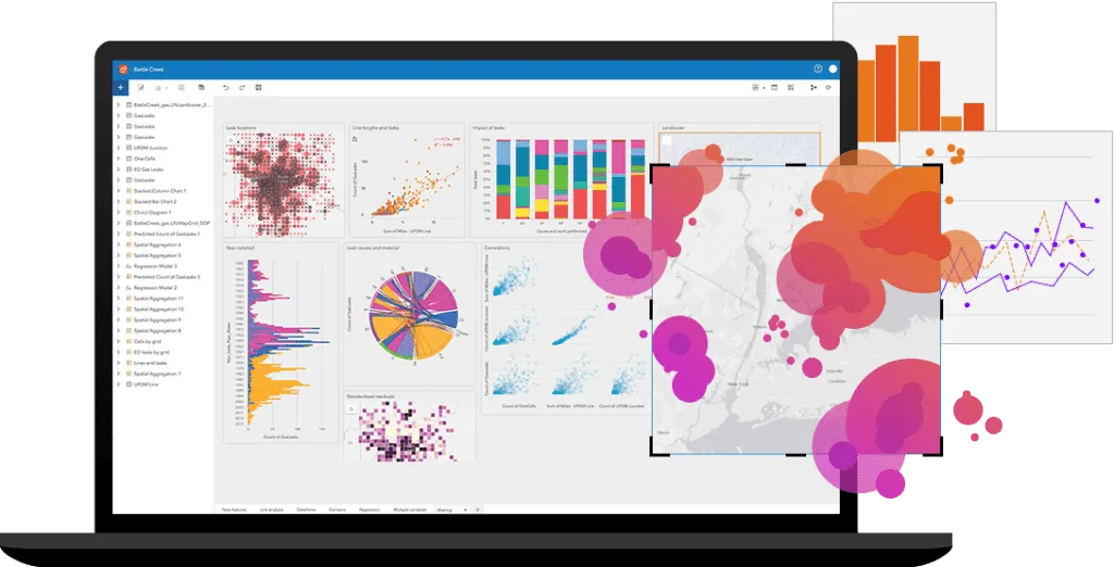
Unlock Insights and Drive Excellence
With support for advanced spatial analysis, real-time data processing, and seamless integration with other enterprise systems, ArcGIS Enterprise serves as a catalyst for innovation, enabling organizations to unlock new insights, drive operational excellence, and achieve their strategic goals.
Empowering Organizations
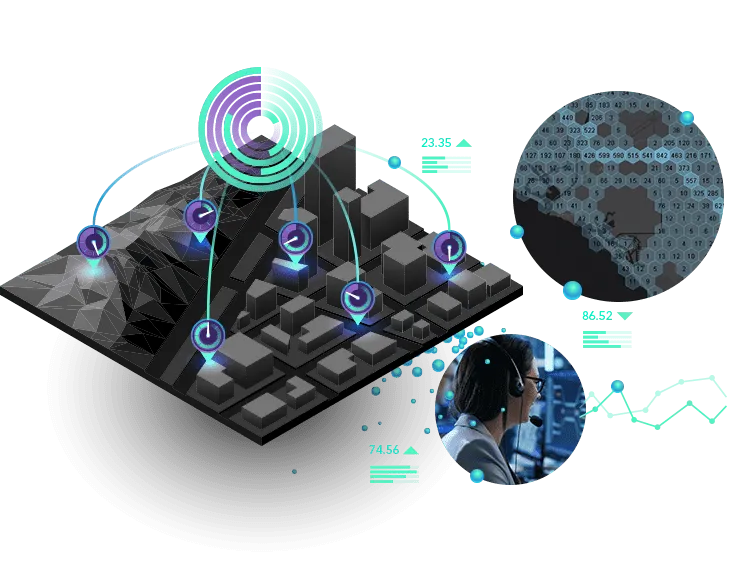
ArcGIS Enterprise empowers organizations with real-time GIS capabilities, enabling them to capture, process, analyze, and visualize spatial data as it is received, providing immediate insights and actionable intelligence.
Unlocking Urban Insights
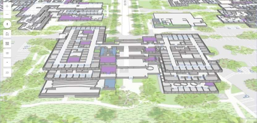
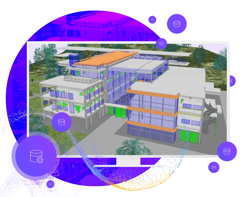
ArcGIS Enterprise provides comprehensive indoor mapping and spatial analysis capabilities. Its applications extend across various domains, including healthcare, government, urban planning and emergency management, where detailed indoor mapping and analysis play a crucial role.
Data management & Visualisation
ArcGIS Enterprise allows you to use your existing database infrastructure and provides ready-to-use data storage options that don’t require any additional administration or cost.
With ArcGIS Enterprise, you have access to storytelling tools that make sense of those dots and lines in your data. Whether it’s a simple web map or a fully customized application, you can choose the way you want to display your data.
DATA analysis & Recovery
There are many ways to analyze your data with ArcGIS Enterprise. Whether you have tabular, vector, or raster data, choose from a host of analysis tools that can be accessed through a browser, on your desktop, or even through applications.
Take Your Projects Further with our
Expert GIS Services
Connect with us today to drive smarter decisions with GIS solutions.

