Unlock unparalleled precision and efficiency in your projects with our state-of-the-art 3D laser scanning services. Whether you’re an architect, engineer, or contractor, our solutions provide the detailed insights necessary to design, build, and maintain with confidence.
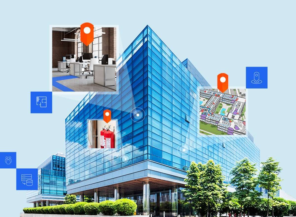
Our Scenario Planning service combines ArcGIS indoor mapping with virtual incident simulation to improve emergency preparedness. We create and maintain detailed spatial data of your facilities, helping teams plan, test, and refine their response strategies for various critical incidents.
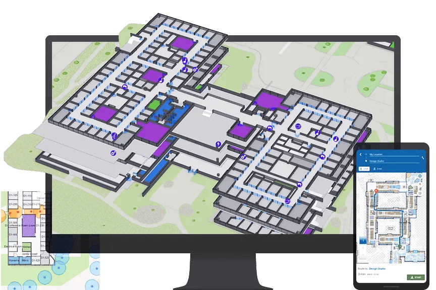
Map building interiors with spatial data, showing room layouts, pathways, and asset tracking. Helping facility managers track equipment, analyze space usage, and provide digital navigation within buildings.
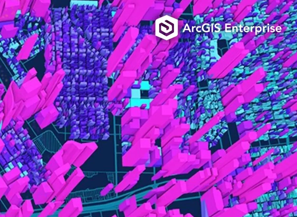
We design Enterprise GIS Architecture that integrates spatial data throughout your organization. Our approach reduces data silos, speeds up decisions, and creates a single source of truth for your team.
Custom ArcGIS applications that address your spatial data needs. We extend standard GIS capabilities with tools for data collection, custom internal dashboards, and public-facing maps that present spatial data effectively.
 (1)")
 (1)")