Indoor Mapping for School Safety

Enhance the preparedness of your facility by utilizing accurate spatial data

geoConvergence School Safety

Ensuring the safety of students, staff, and visitors within a school’s premises is of utmost importance. From natural disasters to security threats, educational institutions must be prepared for anything. Indoor mapping has become an essential element of effective safety plans. Here at geoConvergence we are dedicated to providing detailed, real-time spatial data using Esri’s latest ArcGIS technology. Our goal is to enhance situational awareness, speed up emergency responses, and facilitate efficient evacuations. Allow us to improve your preparedness by incorporating indoor mapping into your safety protocols.

Increase information

The building footprints displayed by satellite imagery provide limited information. In situations when time is of the essence, the lack of context can cause delays and confusion. Indoor mapping provided by geoConvergence offers a far more detailed picture with clearly marked entrances and exits, points of interest (such as fire extinguishers, water shut-off valves, and AED’s), and floor aware room use types.

Stay up to date

Keeping your facility’s spatial data accurate and up to date is crucial for ensuring efficiency in emergency situations. While CAD files can provide a general picture of a building’s layout, they are not always accessible or kept current. Building layouts can change over the years with new additions, rooms, and occupants. When a crisis emerges this can lead to confusion. Indoor maps create a clearer picture of any facility, fostering efficiency when it matters most.

Collaborate efficiently

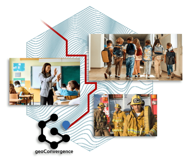
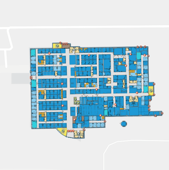
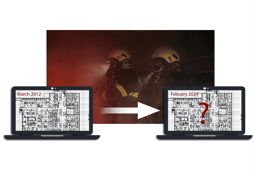
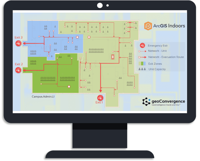
Indoor maps can facilitate better communication and coordination among security personnel, teachers, and first responders before and during emergencies. Collaborate more efficiently using visual floor plans that can be shared instantly, helping everyone involved to understand the situation better and act effectively.

Scenario Planning

Simulate various emergency scenarios using indoor maps to prepare staff and students for different types of incidents. Conduct virtual drills to assess potential obstacles and predict congestion of traffic based on room capacities and exit routes. Virtual drills can be utilized between scheduled physical drills to help ensure that emergency plans stay sharp in the minds of everyone involved.

Safety is the most important investment

Indoor mapping significantly strengthens a school’s safety protocols by providing accurate and up to date spatial data. It enhances situational awareness and facilitates efficient collaboration and communication — which encourages more effective emergency plans. Foster an environment of security and awareness. Take the next step towards preparedness by allowing geoConvergence to provide your facility with indoor mapping.

ArcGIS Specialities