
Indoor GIS for smarter building management
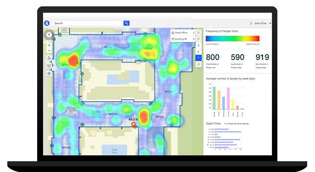
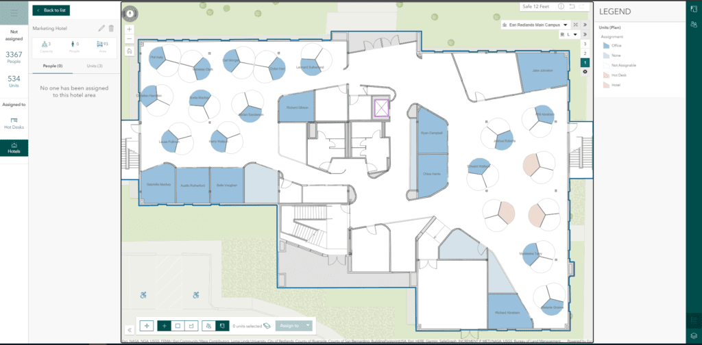
ArcGIS Indoors enables your organization to build an indoor geographic information system (GIS) and put the power of indoor mapping, wayfinding, and space management software into everyone’s hands. With three license levels available, ArcGIS Indoors Pro, Indoors Maps, and Indoors Spaces, your organization can consolidate your asset and space information into a single place, the indoor map, and provide easily accessible web and mobile apps, for location discovery, wayfinding, room reservations, and space planning.


