
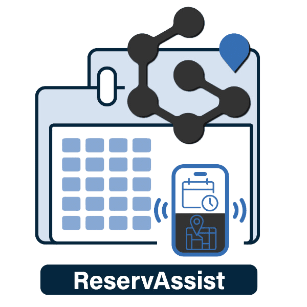
ReservAssist
Calendar view for managing ArcGIS Indoors reservations
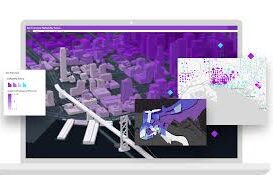
Scenario Planner
Virtual facility drills for emergency response readiness
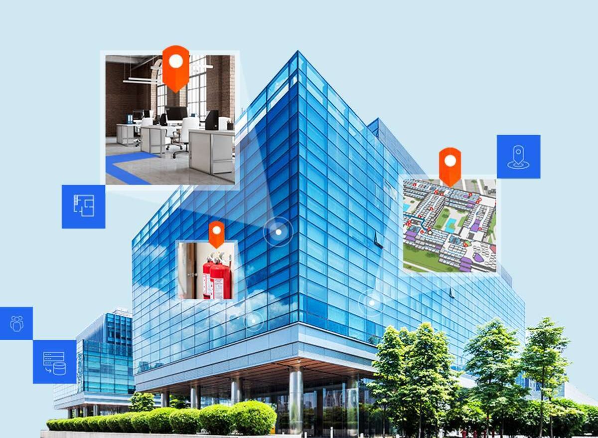
IndoorMa.ps
Cloud-based indoor mapping for space optimization


Calendar view for managing ArcGIS Indoors reservations
Virtual facility drills for emergency response readiness
Cloud-based indoor mapping for space optimization