GeoConvergence

ArcGIS Enterprise

geoConvergence collaborates closely with your IT and GIS teams to craft and implement the most recent version of ArcGIS Enterprise, tailored for either on-premises or cloud-based environments. Our team engages with yours to pinpoint technical solutions that address your specific business challenges. Through discovery workshops, we gain insights into your current GIS landscape, laying the groundwork for developing a comprehensive future state architecture. This includes a detailed implementation plan with activities designed to elevate your GIS to an elite enterprise level.

Key Services
  • Enterprise Jumpstarts and Full Deployments
  • Cloud Migration Planning and Implementation
  • System and Solution Architecture Design
  • Enterprise Managed Services
  • Technical Assessments and System Optimization

ENTERPRISE GIS DEPLOYMENT AND MANAGEMENT

geoConvergence builds and configures ArcGIS Enterprise systems that serve as the technical foundation for organizational spatial data management.

We design these environments to match your specific infrastructure requirements and business needs. Our implementations combine technical expertise with practical workflows to create systems that deliver spatial information when and where it’s needed/

Advanced Spatial Analysis

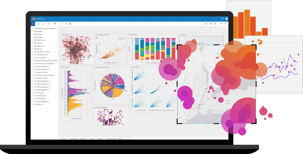
geoConvergence implements ArcGIS Enterprise analytics that reveal meaningful patterns in your organizational data. Our team configures spatial models that answer specific business questions rather than generic analysis tools. These implementations help decision makers understand complex relationships that aren’t visible in traditional reports

Real-Time Monitoring and Analysis

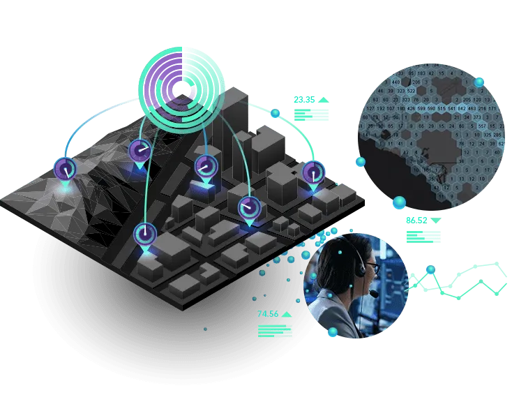
Field operations benefit from geoConvergence’s real-time ArcGIS Enterprise configurations that process data as it’s collected. Our implementations include custom dashboards that display current conditions clearly to operations teams. Mobile workers and office staff share a common operational picture through these specialized information systems

Indoor Mapping Solutions

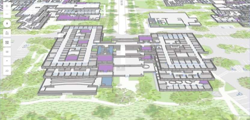
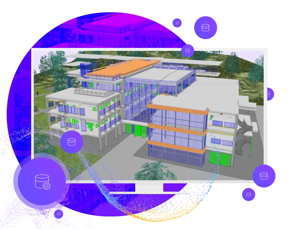
We implement indoor mapping systems using ArcGIS Enterprise to create detailed spatial models of building interiors. Our technical team converts architectural data into geographic information systems, creating digital twins of indoor spaces. We build applications that help users navigate complex facilities, manage space assignments, track assets, and plan for facility changes. These tools bring GIS benefits to inside spaces where traditional mapping falls short.

Data management & Visualization

Organizations can preserve their data investments through ArcGIS Enterprise integrations with existing databases. Our team builds connections to enterprise systems that maintain data integrity while adding spatial capabilities. These implementations ensure users work with current information regardless of where it’s stored

Data Analysis & System Reliability

We configure ArcGIS Enterprise with analytical tools that match your data types and user needs. Our implementations include processing workflows for vector, raster, and tabular information accessible through web browsers and desktop applications. We also establish data backup and recovery procedures that protect your spatial information from loss. Our system designs incorporate redundancy and failover capabilities to maintain availability of critical GIS functions

Take Your Projects Further with our
Expert GIS Services

Connect with us today to drive smarter decisions with GIS solutions.