
IndoorMa.ps: A SaaS/PaaS platform designed exclusively for Indoor Mapping (Series Part 1)
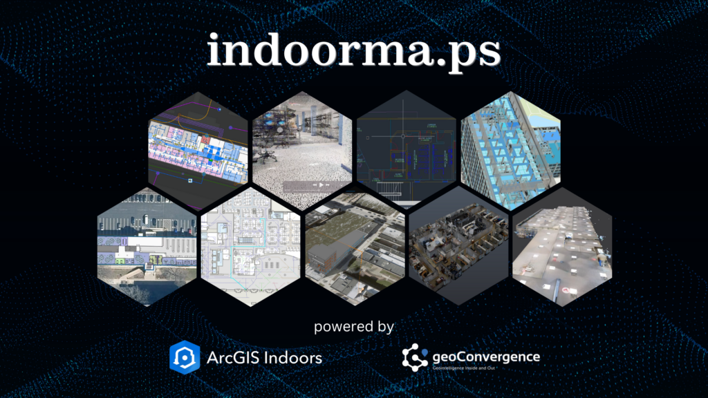
Indoor spaces hold significant potential for optimization, yet they also present unique challenges for organizations striving to enhance safety, efficiency, and utilization. In this first installment of our series on IndoorMa.ps, we introduce you to our groundbreaking SaaS/PaaS platform and its core capabilities. IndoorMa.ps, developed by geoConvergence, addresses these challenges with an accessible, scalable, and rapidly deployable SaaS/PaaS platform. As the first installment in our series, we’ll explore how through this dual approach, organizations can adopt a complete solution with licensing and hosting, or leverage their existing ArcGIS Indoors licenses with our hosting platform. Powered by Esri’s ArcGIS Indoors technology and backed by over two decades of GIS expertise, IndoorMa.ps allows organizations across industries to achieve unparalleled indoor spatial intelligence without the cost and complexity of traditional solutions. This flexible model ensures indoor mapping solutions are accessible to organizations regardless of their existing infrastructure. Whether starting with LiDAR scans or existing CAD/BIM data, organizations can quickly transform their spaces into interactive indoor digital environments hosted securely in the cloud. Offering powerful yet intuitive tools, IndoorMa.ps allows organizations to implement indoor mapping with minimal setup time or resource demands. IndoorMa.ps is also your one-stop shop for indoor mapping services, for data conversion, scanning services and more using our intuitive service request model. Our indoor specialists will provide quick assessments and quotes allowing you to purchase these requests and follow the service activity from your IndoorMa.ps dashboard. Key Features of IndoorMa.ps Rapid Deployment IndoorMa.ps can deploy indoor mapping environments in as little as one week when using existing spatial data, offering immediate use of wayfinding and space management tools. The platform processes standard BIM and CAD files through our data conversion services, maintaining spatial accuracy and building information hierarchies. For facilities without current documentation, our LiDAR scanning captures indoor spaces at sub-10 cm accuracy, generating precise digital basemaps. The data processing workflow supports multiple input formats and automatically configures navigation networks and space boundaries. Users can access their indoor mapping applications through a secure cloud environment, with all spatial data, floor plans, and routing systems ready for immediate use. Efficient Space Management IndoorMa.ps integrates with IoT sensors and Building Automation Systems (BAS) to deliver data-driven space management capabilities: The platform bridges physical and digital environments through an intuitive dashboard, giving facility managers the ability to reduce operational costs and improve workplace efficiency through data-backed space allocation decisions. Transforming Indoor Spaces with Data-Driven Solutions IndoorMa.ps represents a fundamental shift in how organizations approach indoor space management. Through innovative, pre-built CAD and BIM workflows and advanced data processing methodologies, we’re making enterprise-grade indoor mapping accessible and actionable for organizations of all sizes. What once required months of implementation and significant technical overhead can now be achieved swiftly, turning your static building documentation into a dynamic digital advantage that spans space optimization, emergency planning, asset tracking, and reservation management. The future of facility management isn’t just about maps—it’s about creating smarter, safer, and more efficient spaces that adapt to your needs. Our platform delivers exceptional value by combining solutions for space management, emergency response, facility scheduling, and asset tracking into one unified system. Whether you’re a government agency looking to improve public safety or a growing hospital system seeking to optimize patient care, IndoorMa.ps provides the foundation for your facility’s digital transformation. By combining rapid deployment options with proven cost savings, we’re making advanced indoor mapping technology accessible to organizations that previously found enterprise solutions out of reach—delivering a complete suite of facility management capabilities at a fraction of the traditional cost. About geoConvergence geoConvergence, an SBA 8(a) and HUBZone Certified firm, has been a trusted leader in GIS innovation for over two decades. As an Esri Gold Business Partner with Indoor GIS and Federal Small Business specialty designations, geoConvergence combines technical excellence with tailored client support. IndoorMa.ps is our firm’s commitment to transforming indoor mapping into a practical and accessible solution for organizations across industries. To explore how IndoorMa.ps can simplify your organization’s approach to indoor mapping, visit indoorma.ps. Follow us to be notified when the next installment is published.
ArcGIS Infrastructure Migration for the Indiana Geographic Information Office

ArcGIS Infrastructure Migration for the Indiana Geographic Information Office About Indiana Geographic Information Office (GIO)The GIS Office contributes to the quality of Indiana as a place to live and work by cultivating statewide geographic information resources (relationships, data and technology) so that individuals and organizations across the state have suitable access to accurate and relevant geographic information and technology. The ChallengeFor well over a decade, Indiana’s Geographic Information Office has managed a library of over 300 geospatial datasets for access and use by state government employees and the public. The infrastructure that supported the library consisted of two on-site ESRI ArcGIS servers that were load balanced with Oracle as the database backend. Datasets were accessed via hundreds of services. The servers had to be provisioned with high enough virtual memory to be able to host the large number of services. This combined with the high volume of traffic was pushing the limits of the existing hardware. In addition, connectivity was cumbersome for users who were required to access the library via Virtual Private Network (VPN) technology. The SolutionThe state wanted an alternate solution that would be scalable, cost-effective, and allow users to connect securely to the data and services from any location without using VPN. Collectively, these challenges strongly favored a solution that would migrate the infrastructure to the cloud and resolve issues related to: Scalability.The load on the servers varies through the day and week. An autoscaling environment provides both cost and performance optimization. Accessibility.Users needed to connect to ArcGIS Enterprise securely using State credentials and single sign-on access protocols without VPN. Performance.The burden on ArcGIS server could be reduced by offloading processing and employing ArcGIS Datastore. Security.The solution should allow implementing SSO with the existing Azure AD in use by the State. Capacity.Avoiding the overprovisioning of machines by using a tiered architecture with independent scaling. geoConvergence designed a cloud infrastructure to overcome these challenges and meet future needs such as: collaborations with various state agencies, the deployment of an open data portal using ArcGIS Hub and the eventual realization of a “system of systems” promoted by Esri’s visionary leader, Jack Dangermond. Working closely with the GIO, the architecture was designed not only to be scalable but also highly available and resilient. geoConvergence used CloudFormation templates to automate the deployment of the various ArcGIS Enterprise infrastructure components which were specifically architected for the AWS Cloud. ArcGIS Enterprise was then connected to the Azure AD for security and single sign-on access. A close examination of user workflows identified the opportunity to streamline operations by removing Oracle and the enterprise geodatatabase from the architecture and employing an ArcGIS Data Store and hosted feature layers instead. Additional performance was gained by implementing distributed and partner collaborations to avoid duplication of data that were already published by collaborating agencies. Ultimately, geoConvergence was able to partner with the GIO’s office to create a versatile and efficient ArcGIS Enterprise platorm that is secure and scalable. “The State of Indiana needed to modernize our system of data hosting and delivery to take advantage of the latest technologies and capabilities that align with the longterm strategic vision. The first step was migrating our GIS Infrastructure to the AWS Cloud, laying the foundation to establish a secure and scalable platform for the future.” Megan Compton, State of Indiana GIOgio@iot.in.gov